

Geologic Bedrock Formation Maps can be a Godsend for the Fossil Hunter! There are lots of road cuts that are rocky and look like they may contain fossils, but don’t. To save driving around checking time, I have attempted (Please recognize that I am barely computer literate, so this was quite the feat on my part!) to give you a headstart to finding fossils by giving you a resource on where to get the maps.
For whatever reason, they are not consistent throughout the state. So, the maps will be in different colors and under different names! Yes, so frustrating… But, hey, better to have something to guide you rather than nothing. And if anyone knows how to correlate these with highway maps and does this, PLEASE SHARE! That is way over my head!
Also, you can often get these FREE at your local GIS county office – if you call and ask for one, please tell them what you are doing because both counties I have contacted seem confused as to what I want, and these maps come in packets with hydrology maps, etc. They come in a packet and are big foldout maps. But most of the maps will print out and you don’t need to fend your way through various government bureaucracies to find your fossils. And no one told me I could go here and get them online! I just stumbled across these in a moment of frustration!
So, you can click on a county, find through trial and error which map it is, then zoom in on that map and read the information on the side of it (which is also not consistent). If you zoom in on any of these below, you will see that they not only tell you the Formation or Shale, but also will give you the Period (Upper, Middle, etc. Ordovician Period) AND whether that formation is fossiliferous or not! Some even tell you what you will find, like Maclurites, Hormatoma, Brachiopods, etc. None seem to say Trilobites… But, generally, you can guess that if you are going to find Brachiopods that you will also find Trilobites. Very few trilobites where you will find Maclurites.
* Oh, and sometimes you have to put a couple of maps together to get what you want.*
You can then, often, go to your local visitor center and get a county road map for free, or not, depending on the county.
And I’m figuring that every state has these somewhere! Since I consider “Bluff County” in this area to be SE MN, SW WI, and NE IA, if I figure out their systems, I will update this or it will be somewhere on the blog. 😀
***Here is a link to the discussion on thefossilforum.com with some very valuable input!
http://www.thefossilforum.com/index.php?/topic/39536-geologic-formation-maps-how-to/
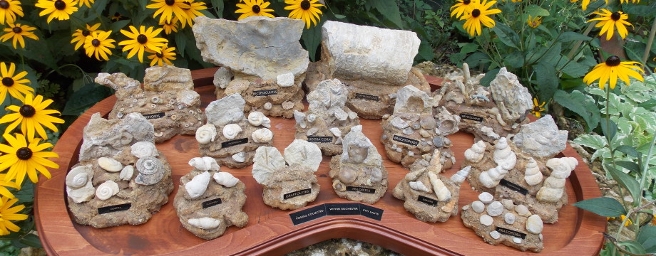
Note, I decide to put this in a separate post for Winona County Hunts: Go to the bottom of the post and you will find photos of the geologic map for Winona County and the road map that I got free at the visitor center and how I traced out my Winona County hunt this week – very inaccurate by the way. And I even have some points starred on the map where we found Decorah Shale and lots of fossils. Check the Winona County hunts and I will have pictures and more information there as we go along on our fossil adventures!
Formation Maps for any county in Minnesota – go here and tap on the county you want:
http://www.mngs.umn.edu/county_atlas/countyatlas.htm
Fillmore – this county has it under “Bedrock Geology”.
http://conservancy.umn.edu/bitstream/58513/6/plate2_bedrock_geol%5b1%5d.pdf
http://conservancy.umn.edu/handle/58513
Houston
Could not get it to come up. And they also charge $3 for their road maps.
Goodhue
http://conservancy.umn.edu/bitstream/58551/3/rs%5b1%5d.pdf
Wabasha – has it under “Bedrock Geology”.
http://conservancy.umn.edu/bitstream/58557/7/plate3%5b1%5d.pdf
blue = Ordovician
http://conservancy.umn.edu/bitstream/58557/8/plate2%5b1%5d.pdf
Olmsted – this county has their map under “Bedrock Geology”.
http://conservancy.umn.edu/bitstream/58436/9/BedrockGeology%5b1%5d.pdf
Winona – this county has it tagged as “Bedrock”.
http://conservancy.umn.edu/bitstream/58435/8/winona_plt2_bedrock%5b1%5d.pdf
http://conservancy.umn.edu/handle/58435
Note: I copied the URLs from the little box to the left top of the screen. But I did note that the U of M has a thing that says “permanent link” on some (All?) of the maps. This is what it looks like:
|


One Response to Geologic Formation Maps for Minnesota